

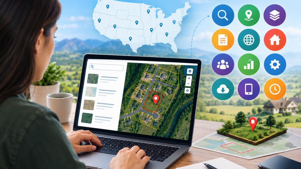

Finding a parcel once meant hours on county sites and calls. In 2026 you can pull ownership, boundaries, taxes, flood risk, and comps from your laptop. Start with the right US map software and a clear order so you do not miss liens, access, or zoning limits. Below are 12 steps for vacant lots, rural acreage, and infill lots.
Why Online Parcel Research Matters In 2026
Counties now update GIS and assessment data more often and publish maps free. Buyers who check in order spot problems early and price with confidence. You also build a file that helps with title and resale.
Start With Official County Sources
County sites remain the source of record. Start there before third-party maps.
1. Search the County Assessor and GIS Portal
Search by APN or address. Confirm acreage, legal description, assessed value, and last sale date. Download the parcel map PDF and note splits.
2. Check the County Recorder for Deeds And Liens
Pull the last deed, easements, and liens from the recorder site. Look for mineral reservations, deed restrictions, and road easements. Flag gaps for a title company.
3. Review Tax Records and Payment History
Open the treasurer portal. Check current taxes, delinquency, and special assessments. Save a screenshot for your records.
Use Mapping Tools To See Boundaries Fast
Maps turn legal descriptions into visuals. Use layers to check risk and access.
4. Try a Free Parcel Map App for Quick Boundary Checks
A free parcel map app shows lot lines, owner name, and acreage on your phone while you drive. Confirm the lot matches the county APN. It does not replace a survey, but it speeds field checks.
5. Overlay PLSS, Flood, and Wetland Layers
Add the Public Land Survey System, FEMA flood, and wetlands layers. Parcels in Zone A or AE may need flood insurance. Note the percent in floodplains or wetlands.
6. Measure Acreage, Frontage, and Access
Measure frontage, depth, and distance to maintain roads. Look for landlocked flags and private road notes. If legal access is missing, you need an easement before a lender approves it.
Verify Ownership and Market Value
Price depends on the owner, nearby sales, and what makes land usable.
7. Confirm Owner Name and Mailing Address
Confirm the deeded owner and mailing address match the assessor data. Watch for LLCs, trusts, and multiple owners. Verify the address with a second source before outreach.
8. Pull Comparable Sales With US Map Software
Filter recent vacant sales by distance, size, and date. Pull three to five comps within 12 months and within 20 percent of target acreage. Adjust for access, slope, and utilities.
9. Estimate Value With Slope And Land Filters
Run slope, flood, and water feature filters. Lots over 15 percent slope or with creek crossings cost more to build on. Note the buildable area after setbacks and floodplains. For a broader view of how investors organize checks, see this breakdown of 10 tools and skills every modern land investor should know.
Confirm What You Can Do With the Land
A clean title means little if you cannot use the parcel as planned.
10. Look Up Zoning, Permits, And Road Access
Check the planning portal for zoning, minimum lot size, and allowed uses. Review nearby permits for well, septic, and power clues. Call the road department to confirm maintenance.
11. Check Federal Data for Public Land and Hazards
Use federal sources for BLM ownership, protected lands, and wildfire risk. Cross-check FEMA and USGS flood and landslide history. Lots bordering public land have access rules.
12. Save Your Research And Build A Contact List
Export maps, reports, and comps to a folder for each APN. Add notes on owner contact, access, and next steps. A clean folder makes it easy to send a package to a partner.
Final Checklist
Walk the 12 steps in order and you catch most deal killers early. Start with county records, confirm boundaries with map layers, then test value and use. When you need nationwide coverage, Land Portal pulls ownership, boundaries, comps, slope, flood, and road frontage into one map that saves hours. Use us map software to pressure test numbers, save parcels, and export a report before you call the owner.
Frequently Asked Questions
How Accurate Are Online Parcel Maps Compared to a Survey?
Online maps show county GIS lines for reference. A licensed survey controls legal boundaries. Use online maps to screen, then order a survey for exact corners.
What Is The Fastest Way To Find Who Owns A Parcel?
Search the county assessor by APN, then confirm with the recorder deed. Mapping tools speed lookup but verify against county records.
Can I Research Parcels In Any State With The Same Process?
Yes, the steps work in all 50 states, but portal names and update cycles vary. Check metadata on each GIS site for the last update date.
How Do I Check If Land Is Buildable?
Review zoning, slope, flood zone, wetlands, road access, and utilities. Then check permit history for wells and septic nearby.
Is Flood or Wetland Data Included in County GIS?
Some counties include FEMA and wetland overlays; others do not. Add federal layers and confirm with local staff before you buy.


Share the News