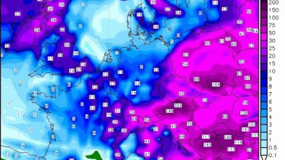
Website states that Serbia on Tuesday, May 13, under the influence of the cyclone Tamara, who will be remembered as the most rainy cyclone since meteorological measurements are made in Serbia.
"Statistically, the probability that this cyclone procedures Serbia is very small. Happens sometimes that a smaller project area storms like this, but to draw such a large area, just not recorded in the history of meteorological measurements at us," he writes, "SerbiaMeteo".
Theoretically, in Serbia are possible devastating tornado, but not recorded, except in the form of stronger thrombi (leeches). Therefore, there is always the possibility of such a cyclone. It is amazing that coincided at the same time be so deep cyclone, its duration and the path that was moving. If we analyze this path, it's almost unreal. Cyclone for days "revolve around Serbia", and it was not weakening. This is how the cyclone forecasting map GFS model:
It is clear that the greater part of Central and Eastern Europe under the influence of this cyclone, and that Serbia is the practice in the city.
One of the main reasons why this is not extinguished cyclone over land is relatively high temperature and humidity. Thermal stratification of the height of the interior of the Balkans was ideal for cyclogenesis and deepening cyclone. Almost the entire troposphere there was a layer of potentially unstable air with a relative humidity close to 100%, creating ideal conditions for the formation of clouds nimbostratusne with nested convection. Because of its depth, the cyclone is constantly "full" warm air from the south and east, which extended the life and strength of the cyclone.
The weakening of the cyclone is finally expected tonight, and the first in the ground layer of the atmosphere, and only in the next day and the altitude. So, it will only be on Friday altitude cyclone of Serbia:


Share the News